
- on foot : 3h - Difficulty Easy
- Distance : 12.8km
- Vertical rise : 120m
- Public : Famille
Step 1 :
Along the Lombre Cross the street and head southwest on Chemin Lalia towards the media library. At the calvary, turn right and at the end of the straight line, take the path opposite onto Chemin de Jacquou. When you reach the road, cross to the left and then immediately left onto the track that runs alongside the Lombré stream. Once on the tarmac, continue left on Chemin l'Aiguillou until you reach the first track on the left.Step 2 :
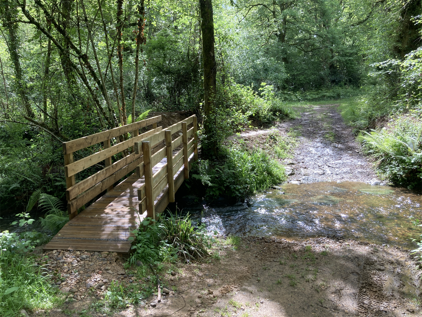
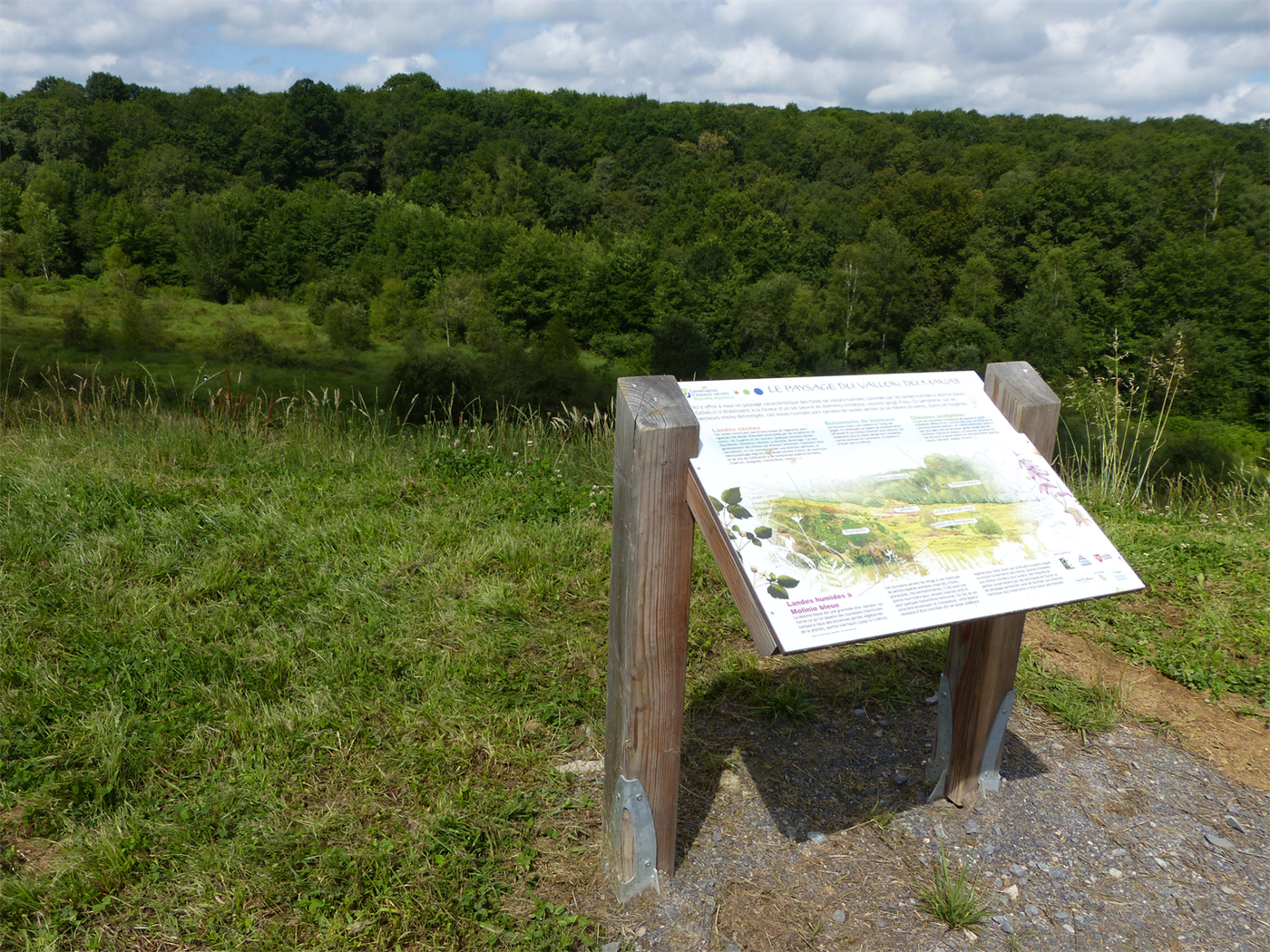
The Manas wood Follow Chemin Tintet, cross the road carefully and continue to the 90° left-hand bend. Take the grassy path opposite and continue straight ahead for over a kilometre to enter the woods. Go down the track on the right, further down, leave the dirt track on the left and turn right at the next junction. Cross the two fords (footbridge). The track climbs to reach the sports complex. An information panel about the Minas valley is located just at the exit of the woods.Step 3 :
The groves Follow the track to the right of the information sign and continue across the grass. Turn right at the junction and join the D63 (Marcotte Capbat road). Walk along the road (mind the traffic) for 80 metres to the right and cross it to join a track. Walk to the end of it, turn left, then right and continue to the perpendicular path. Turn right and walk towards the first houses.Step 4 :
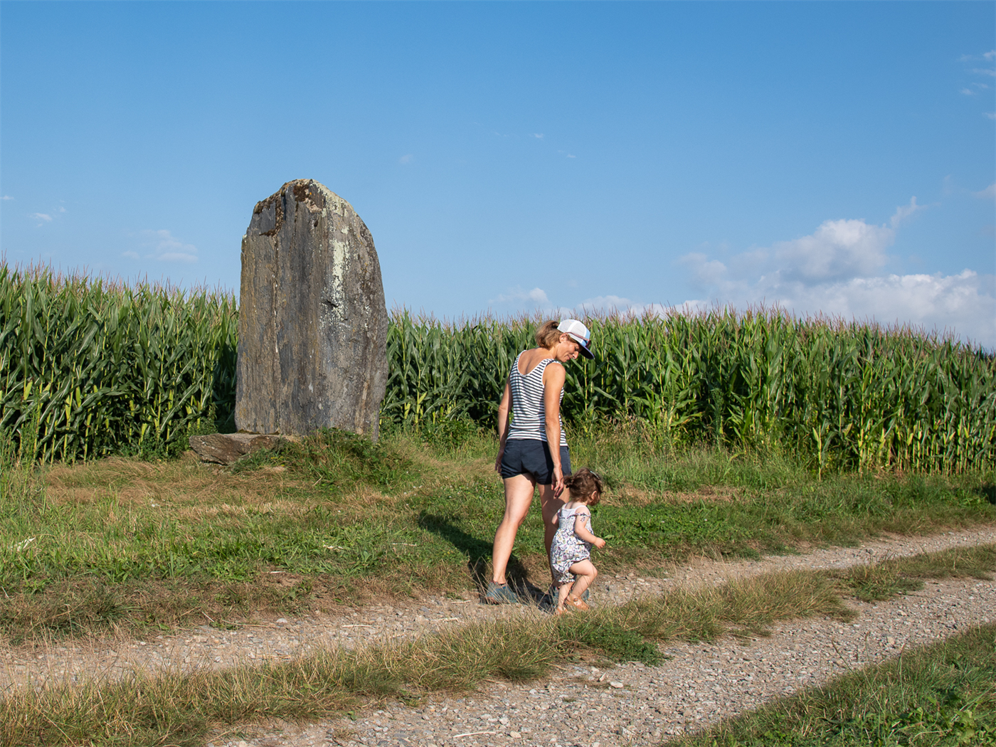
The menhir Take the Laspassaoasses path (yes, really) on the left and, further on, cross the Luzerte stream. Stay on this farm track; the Ger menhir is located at the edge. Continue for one kilometre (this is where the Pyrenees come into view) and take the path on the right which climbs slightly and approaches the houses. Go up the Chemin de la Maitairie, then left at the calvary. Follow to the right at the end of the Chemin de Peninat. At the sports complex, turn left onto the D63 to reach the car park.
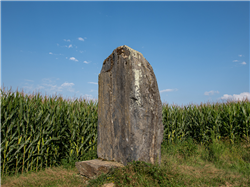
 The menhir of Ger (Rural heritage)
A fallen menhir of exceptional size (the largest in the western Pyrenees) was found in Ger in 1962. Prehistorians believe that this monolith was transported and erected in this part of the Ger moorland by Neolithic men around 3,500 years ago. Their presence on the Ger plateau is also widely attested to by the existence of numerous tumuli. It is 4.8 m long and its maximum rectangular cross-section is defined by sides measuring 1.7 m and 1.1 m. It is composed of hard, blue-grey schist with prominent veins. It weighs 17 tonnes. It was erected on the edge of the communal path about twenty metres from its original location.
Nearby routes

Le plateau du Gabas à VTT
At almost 50 km, this circuit is starting to get serious! The…
GER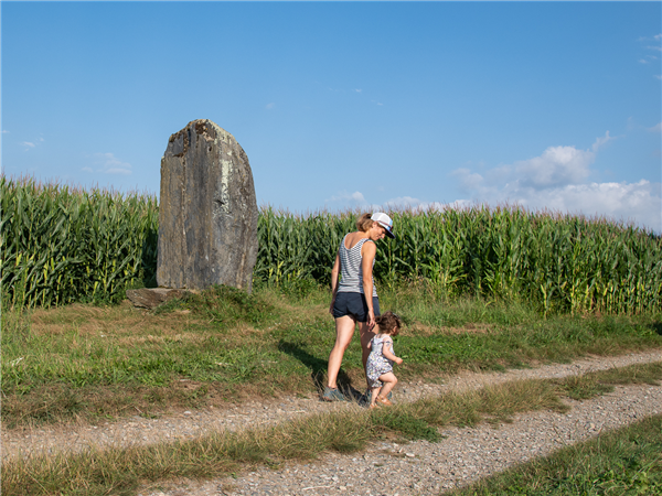
La boucle du menhir
As soon as you leave the village, walkers find themselves surrounded by…
GER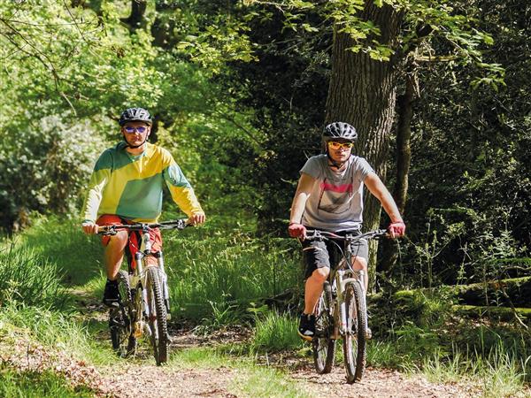
La boucle du menhir à VTT
As soon as you leave the village, the mountain biker find themselves…
GERNearby accommodation
Agenda
 02Oct
02Oct
Useful links


